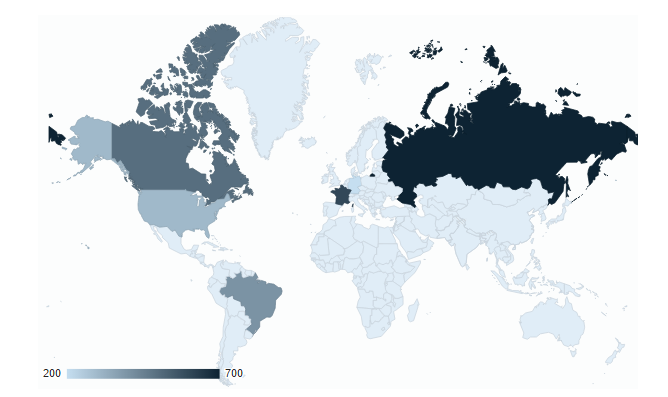
8.4.3 Google Visualization Geo Chart (std_ggeo_chart_v2)
Quick Start Properties – Google visualization Geochart
A geochart is a map of a country, a continent, or a region with areas identified in one of three ways:
- The region mode colors whole regions, such as countries, provinces, or states.
- The markers mode uses circles to designate regions that are scaled according to a value that you specify.
- The text mode labels the regions with identifiers (e.g., "Russia" or "Asia").


